
Reading Nicholas County Parcel Maps
The WV Property Viewer is a statewide map. It is built from county assessor GIS and assessment data. Its toolbar offers Parcel, Address, and Flood Zone search options. Clicking a tract opens a detail panel. The panel lists the owner of record, E-911 address, building information, cost and appraised value, community, flood data, delinquent status, and an assessment report. Highlight, Copy Link, Export as CSV, and Download KMZ round out the tools. The viewer is ideal for locating a tax parcel and comparing nearby shapes. It will not settle a legal line. Select a Nicholas County tract on the map. The detail panel follows from the parcel click.
Treat the viewer as a first stop only. Once a parcel is selected, carry that result to the County Clerk's deed index or recorded map reference before relying on it.
| Layer | What It Shows | Use |
|---|---|---|
| Parcel boundary | Tax-map geometry and parcel key | Locate the tract and nearby parcels; not a survey |
| Address | Physical and E-911 address leads | Find a rural or street-address parcel |
| Flood Zone | Effective or advisory flood-area context | Follow up with the floodplain administrator |
| Delinquent Lands | Tax-distressed land layer described as weekly updated | Check Auditor and Sheriff records |
| Assessment report | Owner, building, cost, and appraised-value detail | Cross-check the mapped tract against the roll |
The right order is simple. Go from map click to legal description. Then move into the County Clerk index when the recorded transfer matters. Reuse the same parcel key in assessment and collection searches. A parcel outline alone never shows the whole chain of title.
Finding a Nicholas County Parcel
A Nicholas County parcel search can begin with a street name in the assessment search. It can also start with an address in the viewer. Select the shape, then write down the parcel key and legal description exactly as shown. The state FAQ notes the map displays the physical address first. Selecting a parcel opens its owner detail. Postal names, old routes, and E-911 addresses can each return different results. Keep those clues separate. Search instead by district, map, parcel, or deed reference when they conflict.
- Enter the physical address or parcel key in the WV Property Viewer.
- Select the parcel to read its ID, owner detail, E-911 address, and report link.
- Use Flood Zone or Delinquent Lands only as a lead for follow-up.
- Carry the legal description or deed book and page into the Clerk's record search.
- Parcel ID
- The system key that ties the map and assessment record together.
- Plat
- A recorded map that lays out lots or a subdivision.
- Lot and block
- A parcel description that refers to a recorded plat.
- Metes and bounds
- A deed description that traces lines by calls and measurements.
Nicholas County Parcel ID Format
The statewide FAQ describes a root Parcel ID with six elements: county code, district code, map number, parcel prefix, parcel suffix, and a special ID. Variations exist. The GIS Parcel ID omits the special ID. CAMA or IAS versions drop the county code. Short search forms sometimes show district-map-parcel or plain map-parcel strings. The FAQ's public example comes from another county. Do not borrow its county or district digits for a Nicholas County search. Confirm a Nicholas-specific code with a live assessment result. When an old deed lacks the modern form, ask the Assessor to match its district, map, parcel, and subparcel against the current tax roll.
Nicholas County Acreage and Boundaries
Deeded acreage is the amount stated in the conveyance itself. Calculated acreage is only a GIS estimate drawn from mapped geometry. The two figures sometimes differ. The state FAQ says deeded acreage governs in that case. The tax map is not conclusive evidence of ownership or a court boundary. A line dispute calls for a licensed survey and the recorded legal description. Never average the acreage figures, and never read a colored boundary as a surveyed corner. Compare the deed, tax map, parcel card, and any recorded plat side by side. Splits and mergers add another wrinkle. The assessment map may show a newer map or subparcel. An older deed may still describe the parent tract.
Nicholas County Map Books and Racks
The County Clerk index lists Map Book and Map Rack as separate collections. A parcel may have been platted, partitioned, or tied to a deed with a map. Those selectors matter most in those cases. Search a subdivision or party name in the index. Then ask the Clerk for the reference if the digital result does not expose a map image. The county publishes no city subdivision inventory or stated year run for its map books. Work from the legal description and map key as much as a present street address. That habit pays off in Richwood's older timber tracts. It also helps in Summersville's post-fire and later county-seat parcels. Assume no specific Nicholas County plat name without a Clerk map-book result.
Nicholas County GIS Downloads
The state assessment portal routes its mapping content through the West Virginia GIS Clearinghouse. A separate state directory hosts Nicholas County tax-map PDFs. These are useful companions to the parcel viewer. Pull a map sheet, then compare it against what the viewer draws for the same parcel. The match is often close. Still, both products are tax maps at heart. The on-screen geometry inherits the same limits as the printed sheet. Before relying on any boundary, check the file date and the parcel key against the parcel number. For a recorded plat or a true conveyance, the County Clerk deed books remain the authority.
Visit the West Virginia GIS Clearinghouse and the Nicholas County tax-map directory for available downloads.
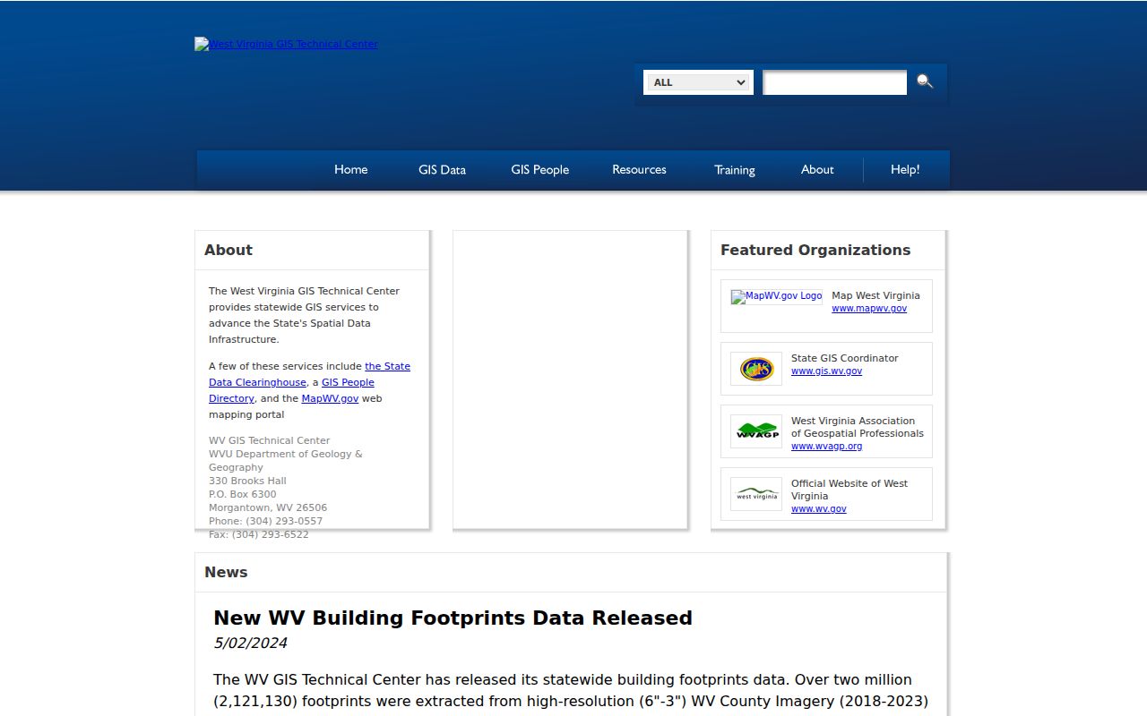
Open the state-hosted Nicholas County tax-map directory to see the county's map-sheet collection.
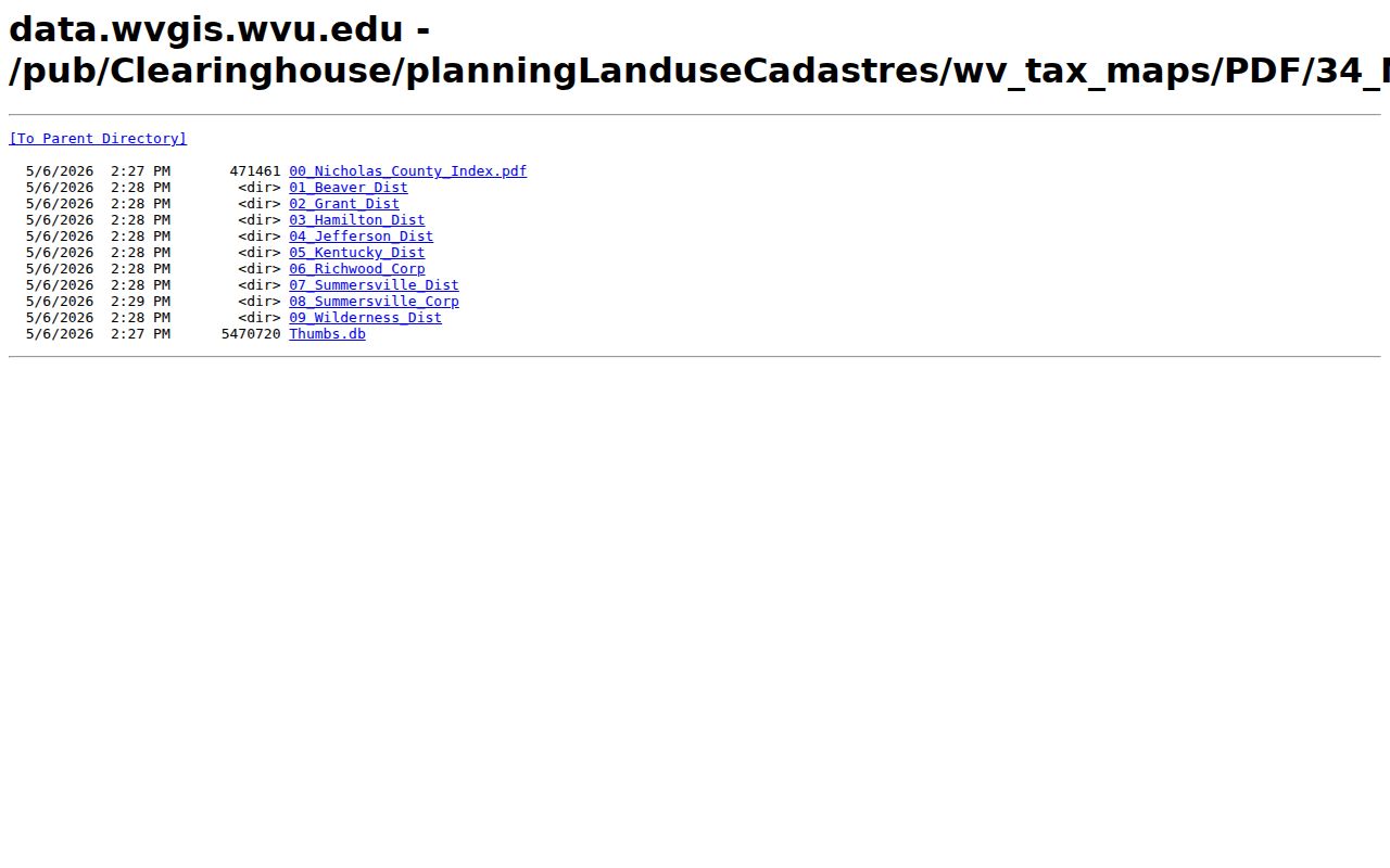
Downloaded data adds useful context for a Nicholas County parcel search. It cannot replace a survey or a correction from the assessor. Sometimes a downloaded sheet and the online viewer disagree. Start by confirming that both refer to the same district, map, and parcel number, and note the map or publication date printed with the file.
A tax-map PDF helps you locate the right sheet and compare nearby parcel labels. A recorded map filed in the Clerk's books supplies the legal filing reference. When you weigh acreage, access, or a shared line, keep the deed description and any survey alongside the map. Those deed records, not the drawing, control what the property records actually convey.
Nicholas County Flood and Tax Layers
The Flood Zone and Delinquent Lands layers in the viewer answer two very different questions. Flood data is a due-diligence clue, nothing more. An official site determination belongs with the county floodplain administrators or the city office. The delinquent layer works differently. It feeds from the State Auditor's land process and carries a weekly update cycle. But a map marker cannot confirm payment, a sale, redemption, or the current owner of record.
Open the WV Property Viewer delinquent-land layer for the statewide view. That view ties to Nicholas County parcels. Check any selection against the Auditor's county and tax-year search before drawing conclusions. Then call the Sheriff's office about sale timing.
A delinquent-land marker is only a lead. Confirm the account status and any sale details in the State Auditor and Sheriff records, since the tax roll in those offices governs the outcome, not the GIS map.
What Nicholas County Parcel Maps Do Not Prove
Tax-map parcels exist to support assessment and reference work in Nicholas County. They prove far less than people assume. A parcel outline cannot establish a property corner or settle a boundary dispute in court. It does not guarantee the stated acreage. Nor does the viewer prove that every deed and easement appears in the plat layers. So confirm flood and delinquent labels with the office that maintains the underlying record.
Not a survey. Nicholas County GIS lines are approximate tax-map features. Use the deed and a licensed surveyor before building on or disputing a boundary.