
How a Nicholas County Property Search Works
The best workflow identifies the parcel first, then carries its key into the deed system. Begin with the state assessment form. A street-name query is the fastest start. But the Full Parcel ID and the District, Map Number, Parcel, and Sub-Parcel fields are stronger in some cases. They help when an address has changed. They also help when the deed describes a tract. Owner Name works well for tracking several assessment entries. Be careful, though. Spelling, initials, trusts, LLCs, spouses, and life estates can vary between records.
When the parcel detail opens, write down the legal description. Also record the GIS parcel ID and the deed book and page. The Clerk can do far more with those than with an address alone. Then check the recorded index for the latest conveyance. Open the viewer for map context. A fresh transfer may reach the index early. It can appear there before it shows up in the annual statewide assessment release.
- Choose Nicholas County and search the known street, owner, or parcel field.
- Open the matching parcel and copy its owner, physical address, E-911 address, legal description, and deed reference.
- Search the County Clerk index by party role and date range to confirm the recorded transfer.
- Compare the same parcel in the WV Property Viewer and note any map or acreage difference.
- Ask the Clerk or Assessor about an older book or a record that has not reached the public screen.
Nicholas County Assessment Search Fields
The assessment form lets a Nicholas County lookup reach one tract from several angles. Street Name fits when the known address is current. A deed sometimes relies on a district description. Full Parcel ID fits that case. So do District, Map Number, Parcel, and Sub-Parcel. Owner Name may return multiple parcels. Appraisal and Sales filters then narrow things by value, acreage, date, or price. An empty result under one key just means try another field.
The WV Property Assessment form organizes its controls into sections. These include Basic, Appraisal/Sales, Advanced, Prior Ownership, and Display. The opening screen presents county, owner, street, parcel, and valuation fields together.
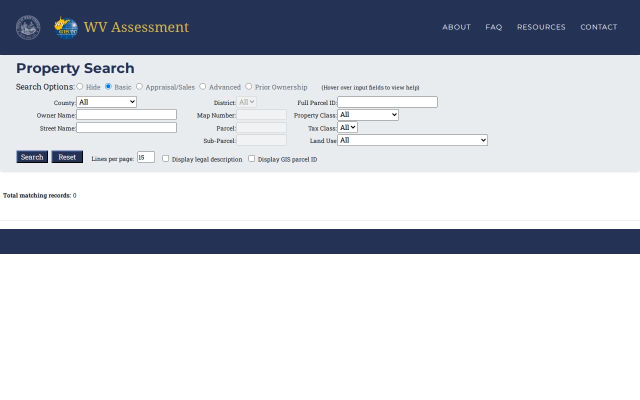
Enter a precise district, map, and parcel key first. That narrows the Nicholas County result before you compare it with the recorded deed.
| Group | Fields | Use |
|---|---|---|
| Basic | County, District, Full Parcel ID, Owner Name, Map, Street, Parcel, Sub-Parcel, Tax Class, Land Use | Find a tract from an address, name, or map key. |
| Appraisal / sales | Land, Building, Total, acreage, sale dates, price ranges | Narrow a local value or transfer review. |
| Advanced | Flood Hazard, Mailing Address, Deed Book, Page, Legal Description, building year and area | Resolve a rural address or link a deed reference. |
For a rural Nicholas County tract, lead with the county, district, and map number. A modern street address can come later. One owner may hold several parcels. A single parcel can carry separate mailing and E-911 addresses. If an owner-name result sprawls, add the district or parcel field. Then check the deed book and page on the assessment card. An unfamiliar address is a cue to lean on the legal description or a known adjoining road. Confirm the card on the state viewer.
When the portal returns nothing likely, try alternate owner spellings and older road names. The Assessor can match a legal description to the current district-map-parcel key. Remember that the online card is not the recorded instrument. Use the Nicholas County Clerk index to verify transfers and map references.
Nicholas County Property Card Details
The viewer's parcel panel is a search step, not a deed copy. Its headings run from Property Owner, Physical Address, and E-911 Address through Building Information, Cost Values, Appraised Values, Flood Info, Community, Delinquent Status, and an assessment-report link. Not every card shows sale price, sale date, exemptions, or full mailing-address labels. Confirm the live record. Use the Clerk index for the recorded instrument itself.
The sample parcel detail illustrates the same field layout. Check any actual result by its parcel key.
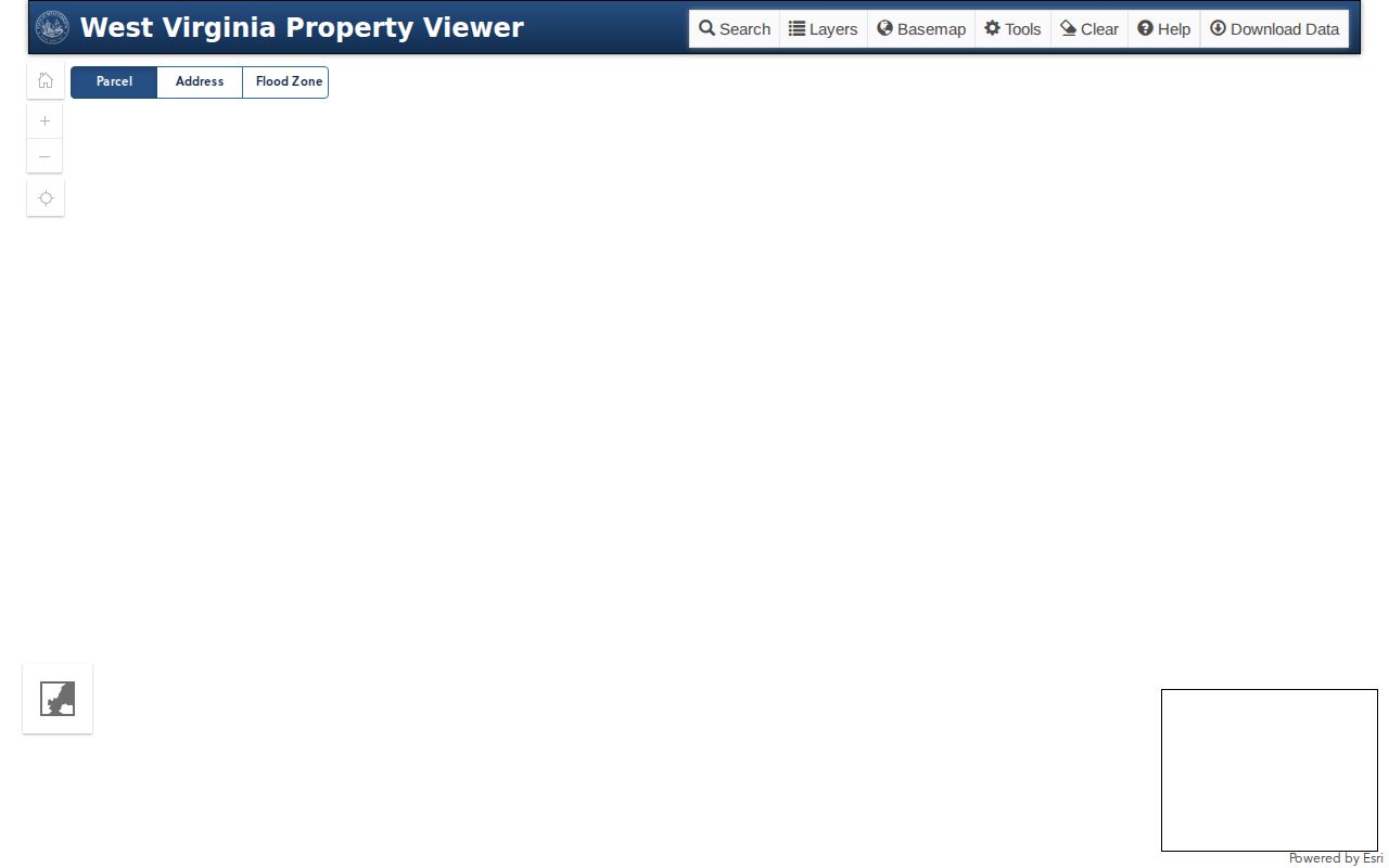
Treat the Owner field as a starting point. A recorded deed can be newer than the statewide card.
What a Nicholas County Property Record Shows
A parcel result is a compact assessment snapshot. A Nicholas County property search can surface the current tax-owner name, physical and E-911 addresses, map identifier, legal description, building details, cost values, and appraised values. It also shows flood information, community, delinquent status, and the report link. The assessment form also displays the legal description and GIS Parcel ID separately. Note which field supplied each clue. An owner-of-record name and a mailing or site address answer different questions.
| Property Owner | Name shown in the assessment record; confirm against the newest deed. |
|---|---|
| Physical / E-911 address | Location and emergency-address clues; the mailing address can differ. |
| Parcel ID | County, district, map, parcel, suffix, and special-ID elements may appear in different formats. |
| Appraised / cost values | Assessment figures for the roll, not a market appraisal. |
| Legal description | Conveyance wording that may use a lot, tract, or metes-and-bounds description. |
| Deed book and page | Reference for the related Clerk record when the field is present. |
A Nicholas County property search is not a title search. The tax roll does not decide whether every interest was recorded. The map line is no survey either. When the parcel card and GIS acreage disagree, read the deed description.
Nicholas County Mailing and E-911 Addresses
Keep three address ideas apart. The situs or physical address marks the site itself. The mailing address carries tax notices. It may point to an owner, business, trust, or representative somewhere else. The state viewer adds an E-911 address field. When that field is wrong, the state FAQ says the local municipal or county addressing office submits corrections. Those go to the Statewide Addressing and Mapping System.
Street Name and Mailing Address sit as separate fields in the assessment form. A Summersville or Richwood postal name does not place a parcel inside city limits. When records disagree, keep the parcel key and map view beside the address.
Nicholas County Annual Roll Lag
Statewide assessment data gets refreshed once a year. Transfers inside the July-to-June assessment cycle work on a slower clock, because assessors must file revised maps by February 1 of the following year. New parcel geometry can take even longer to appear in the state file. So a deed recorded right after a sale may list the new grantee while the search result still shows the prior assessment owner.
Before calling, note the recording date and the instrument reference. Those two details let the Assessor match a card against the transfer quickly. Betty Griffin's office sits in the courthouse basement at 700 Main Street, Suite 4. The county page lists (304) 872-7800 for questions and corrections, and the Nicholas County Assessor page is the place to start.
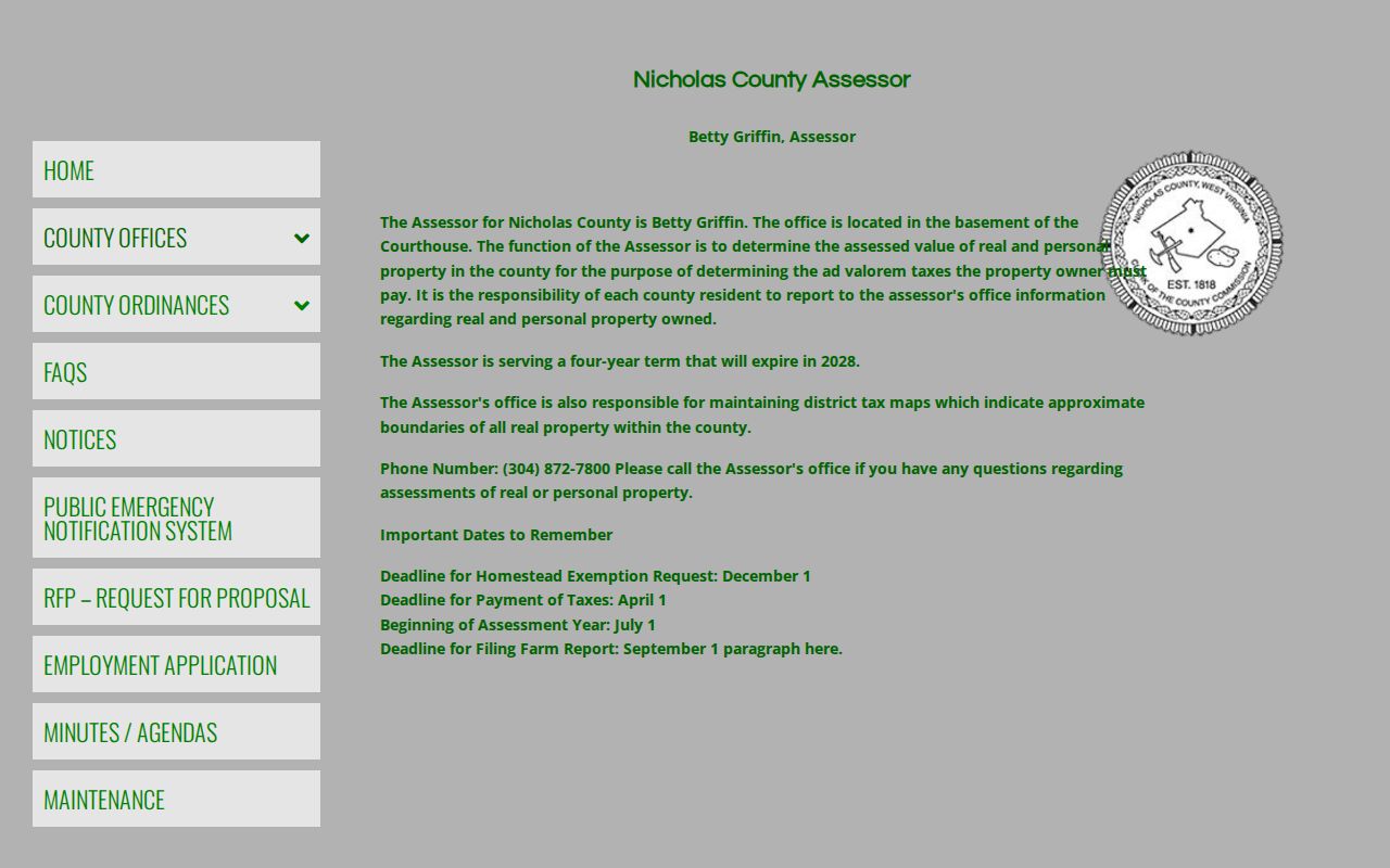
The Assessor keeps the local roll. State search screens can trail a recorded Nicholas County transfer or map change by months, so treat their parcel data as a step behind the deed records.
Nicholas County Acreage and Flood Filters
The advanced search offers plenty of filters. Flood Hazard, deeded-acreage ranges, calculated-acreage ranges, and legal description all narrow a parcel hunt. So do deed book, page, building year, building area, and structure counts. Still, filters only sort results. They cannot settle what acreage a deed conveyed. Nor can they say whether a building sits in a regulated flood area. Deeded acreage comes straight from the conveyance, while calculated acreage is only a GIS estimate.
Pair the map with the legal description. If the two acreage figures disagree, read the deed or survey. Then call the Assessor instead of averaging the numbers. For a floodplain question, confirm with the county administrator or the relevant city. A search filter is never an official flood determination.
Nicholas County Search Keys
Match the search key to the clue in hand. The assessment search keeps street, mailing address, legal description, deed reference, and parcel fields separate, while the Clerk index is organized around names, roles, record types, and books. A rural route or postal city can send you to the wrong map spot if it gets used as the situs address. That is a common trap in Nicholas County property records searches. When one mode returns too many entries, add a second key on the next attempt. Broadening the name alone rarely helps.
| Search Key | Best For | Where It Works | Watch Out |
|---|---|---|---|
| Address | Locate one situs property | Assessment Search and Property Viewer | Rural routes, renamed roads, and E-911 changes |
| Owner name | Find assessment entries tied to a party | Assessment Search, then Clerk grantor/grantee index | LLCs, trusts, estates, spelling, or same names |
| Parcel key | Match one tract across county systems | Assessment Search, Viewer, and deed reference | Root, GIS, and CAMA formats omit different elements |
Not a title search. Nicholas County property search results show entries held in public systems. They do not establish clear title or settle a boundary dispute; use the recorded instrument and a qualified title or survey professional when the decision requires it.