
How to Search Richwood Property Records
Richwood has no recorder or assessor of its own. All land records sit with Nicholas County. Begin at the county assessment portal and search by street address, owner, district and map, or parcel number. Write down the parcel identifier and deed reference. Then search the County Clerk's grantor and grantee index to trace recorded conveyances. Cross-check the current assessment and tax data in the state WV Property Viewer, which adds a mapped parcel, E-911 and selected flood or delinquent-land layers. Treat them as complementary tools. The assessment roll is not a title opinion, and a viewer outline is not a survey.
- Search the assessor portal by Richwood situs address, owner name or the district-map-parcel key.
- Use the owner and deed book/page details to search the Nicholas County Clerk's recorded index.
- Compare taxable value and tax-year information with the relevant assessment cycle.
- Open the WV Property Viewer to inspect the mapped parcel, E-911 address and visible river or flood layers.
- Ask Richwood city staff for zoning or permit history; the reviewed city materials did not show an address-keyed online permit search.
The Nicholas County property-search guide explains assessor fields, and the deed search page covers recorded instruments. Both help with Richwood parcels. River-edge and city-edge tracts need extra care. Keep the legal description and map reference beside your screen results so a similarly named road or mailing address does not lead to the wrong tract.
Where Richwood Property Records Are Kept
Two Nicholas County offices hold most Richwood property records. The County Clerk records Richwood deeds, liens, maps and other instruments, while the Assessor maintains ownership, valuation and tax-map fields. The WV Property Viewer adds state-hosted parcel information. The municipal layer works differently. City charter and code materials describe local government and land-use rules, and city staff field permit and zoning questions. A deed search cannot settle a zoning question, and a code library never replaces the Clerk's instrument index.
Nicholas County Records (deeds, taxes, parcels)
County records hold the recorded chain, tax assessment and parcel-map references for Richwood land.
Richwood Permits & Zoning
Contact Richwood city government for charter, code and parcel-specific zoning questions.
Richwood, West Virginia 26261 mailing area
Confirm the current city contact directly
Start a Richwood Deed Search at the Cherry River Forks
Richwood's origins help decode old deed language. The town grew where the North and South Forks of the Cherry River meet, alongside sawmill and timber enterprises. State and local history accounts describe the Cherry River Boom and Lumber Company and a very small settlement around 1900. The West Virginia Encyclopedia records the earlier name Cherry Tree Bottoms and incorporation in 1901. A deed may therefore describe a tract by river fork, timber operation, mill lot or older place-name rather than a current street number.
Treat the historical term as a lead. Prove the link carefully. Use the legal description, deed parties, map book reference and adjoining landowners. A company name in a local-history account is not itself evidence that a specific parcel belonged to that company. Save the citation at each step. Later researchers can separate documented ownership from contextual history.
Use Richwood's Charter and Code Eras as Record Clues
Richwood's city history shows why a property search benefits from more than one time marker. The city incorporated in 1901. An official charter arrived in 1921. The current municipal page lists the 1921 charter, 1981 charter revision materials and a 1981 code-revision index. These papers describe city government and local rules. They are not a substitute for a recorded deed or a complete permit-history database.
For an older lot or industrial tract, note whether a description predates the charter, refers to a mill or timber holding, or appears in a later code-era file. A code date is not a building date. Match clues to the Clerk's deed and map references. Ask city staff whether an ordinance, zoning map or file applies to the parcel. Review the Richwood charter and code collection. The city page displays the charter and later revision materials.
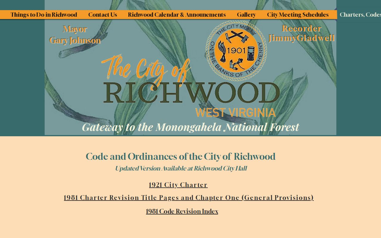
The page is a document library, not an address search. Contact the city to confirm the current procedure for parcel-specific records.
Follow Timber and Railroad Descriptions Through the Chain
Richwood grew on timber, rails and river transport. Local industry in the 1920s and 1930s was varied. Factories, a large tannery, clothespin production, and pulp and paper all operated here. Wood-related manufacturing shaped the town. A chain of title may carry a company name, mill tract, industrial lot, railroad reference or an older description unlike the modern address. Those clues explain why an assessor search by street name alone fails.
Search the deed index with each variant. Include spelling differences. Verify any hit by legal description and adjoining owners. If a corporate owner appears, the deed remains the land-record evidence. A state business registry can interpret the entity name but does not establish its parcel holdings. Trace later subdivisions, conveyances and industrial reuse through recorded maps and instruments, not the town's economic story.
Richwood Neighborhoods and Subdivisions in the Records
Richwood has no official published subdivision inventory or named plat index. So no verified neighborhood list can appear here. Inventing one, with dates, would mislead anyone tracing a plat. The older records use different landmarks entirely. References to Cherry Tree Bottoms, the forks of the Cherry River, timber-company holdings, mill lots, and railroad or industrial property appear first. Those terms can predate the street address a parcel carries today. Test those phrases against a recorded deed or map. Never treat them as confirmed subdivision names without that check.
| Neighborhood / Subdivision | Era | In the Records |
|---|---|---|
| Named subdivision not verified | To be confirmed | Ask the County Clerk for the Map Book or Map Rack entry tied to the parcel. |
| Cherry Tree Bottoms / river forks | Historic place references | Search older deed descriptions and adjoining owners; do not assume a present street name. |
| Timber, mill or railroad tract | Early twentieth-century development context | Confirm a company-lot or industrial label against a recorded instrument or map. |
Once a deed or plat yields a solid lot, block, company, or map-book reference, carry the exact original wording into the Clerk index. Then compare it with the assessor parcel card. The Nicholas County parcel maps guide explains what tax-map geometry and viewer lines can and cannot settle.
Read Richwood Parcels With River and Flood Context
Richwood sits where the Cherry River forks, and that setting shapes its parcel records. River corridors, steep terrain, and flood exposure all influence access, lot shape, and building history. The 2016 flood is a major marker in local property history. It frames useful questions about damage, rebuilding, transfers, or changed uses. It proves nothing about any one structure. Work through the recorded chain of title. Then ask the owner or the responsible custodian for parcel-specific documents.
The state viewer layers flood-zone and delinquent-land information over tax-map geometry. Let a mapped layer orient the question. Then check the legal description and any recorded easement or plat. If a project turns on floodplain status or a boundary line, contact the county floodplain administrators. Or get a qualified survey and a current determination. A map on a screen never shows every access right, elevation condition, or legal restriction.
Keep deeded acreage separate from the viewer's calculated area, and note the viewer date. A river-side boundary is especially sensitive to mapping scale, shifting watercourses, and later boundary work.
Confirm Richwood's Incorporated Boundary
Richwood's municipal boundary, county tax-map parcel, and mailing address are three different records. The Census Boundary and Annexation Survey identifies the incorporated place for statistical purposes. Census lines never decide ownership or legal jurisdiction. The county publishes no parcel-level annexation history or complete list of boundary changes. For a property near the edge, ask the city for current jurisdiction information. Compare that answer with the deed, the county parcel card, and any applicable ordinance.
The check matters. City code and zoning questions depend on whether land sits inside the incorporated area. County assessment and deed records, by contrast, cover property across all of Nicholas County. Never infer city status from a mailing label or a ZIP code.
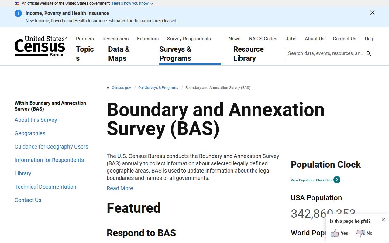
Note: For any purchase, permit, or tax question, get written confirmation from whichever office holds authority over that decision.
Separate Richwood ZIP 26261 From City Limits
Richwood is tied to mailing ZIP 26261, yet postal geography is not the municipal boundary. A postal city name can span rural delivery routes. It can also cover post-office-box service well beyond the incorporated place. ZIP lines, PO-box quirks, and edge-address exceptions are not mapped here. Treat the mailing line only as a search aid for Richwood property records.
Nicholas County parcel pages often list three addresses. These are a physical or situs address, a separate owner mailing address, and an E-911 address. The physical line locates the taxed parcel. The mailing line routes correspondence. E-911 data supports emergency response. An owner may live elsewhere. A road number may also have changed. In those cases rely on the district-map-parcel key and the deed description to confirm the parcel. A Richwood postal label alone cannot establish city zoning or emergency jurisdiction. It also cannot fix an exact parcel location in Nicholas County.
Ask Richwood for Parcel-Specific Permit Records
Richwood's charter and code page collects municipal documents, including charter and code revision material. The city offers no address-keyed permit or zoning database there. There are no public search fields, date coverage, fee schedule, or export. A downloadable code helps you understand municipal rules. It cannot show whether a permit was issued for a specific building. Nor can it show whether a site carries an unresolved code matter.
Contact Richwood city government through its published website. Ask how to request permit and zoning history. Use the property's full address and parcel number. For an older record, include alternate road names or the historic legal description. Then compare the response against county deed, assessment, and map records. If the parcel sits outside the incorporated boundary, ask whether county floodplain or septic review applies. A city code page does not answer those separate questions.
Trace Richwood's Industrial Property Eras
Richwood grew up around timber and railroads, not county-seat government. That origin still shapes its land. Factories arrived mid-century, along with tannery work, clothespin production, and pulp or paper activity. Later came decline in timber and coal, then the 2016 flood and its recovery. Each era reshaped ownership, buildings, and industrial tracts. Use them to frame a parcel search in Nicholas County. Don't lean on them to assign value or assume an owner ran a particular business.
Richwood publishes no official city-level property-value trend series. A real trend needs a defined sample of Richwood parcels. It also needs comparable assessor sales or appraisal data across years. Keep assessed land value and improvement value separate. Note each tax year and sale date, and watch for changed parcel boundaries or structures. A tax card is an assessment, not an appraisal.
Compare Richwood's Parcel Map With Its Deed
Three tools belong in every Richwood parcel check: the county assessment card, the state map, and the instrument on file with the Clerk. Line them up field by field. Compare owner name, district, parcel identifier, acreage, situs address, deed reference, and legal description. A fresh deed can lag an annual assessment extract. Geometry on the map may be approximate or updated on a different schedule. Cite the book and page or map reference. That hands the custodian an exact path instead of a broad street query.
Sloped, river-adjacent, and industrial lots deserve extra care. Confirm access and easements, and pull any subdivision or plat reference from the recorded instruments. Two touching lots are not one legal parcel. Ask the County Clerk for the recorded plat, hire a licensed surveyor when boundary precision matters, and keep each screenshot's date and source, since state layers and county assessment data change.
What Richwood Property Records Show and Their Limits
A Richwood parcel record can tell you plenty. It may list the assessed owner of record, assessed value, tax-map location, recorded deeds and liens, and selected flood or delinquent-land details. It has limits. No parcel file proves market value, title quality, or an exact surveyed boundary. A deed records what the instrument says. A mapped line is only an approximate reference. Put each question to the office that holds those records, whether the County Clerk, Assessor, city, or floodplain office, and get a survey or title review when a legal determination is at stake.
Lawful use. Public property information supports research, transaction diligence and civic review. Do not use personal information to threaten, stalk or harass anyone; take a legal concern to the appropriate authority.