
How to Search Summersville Property Records
No city recorder or assessor operates inside Summersville. Property research here runs through county and state offices instead. Start with the Nicholas County assessment portal. You can query by street address, owner name, district and map number, or parcel identifier. Treat the assessment result as a lead, not the finish line. Next, search the County Clerk's deed index for the parties, document type, recording date, and book and page. The recorded instrument is what carries legal weight. Tax questions call for the current assessed roll and payment records. Location questions call for the state parcel viewer. It shows parcel geometry, the E-911 address, and surrounding map context. Each source answers a different question. Keep the deed description beside the screen results for a complete picture.
- Search the assessor portal by Summersville address or owner and note the district, map, parcel, situs and mailing fields.
- Use the owner names and deed book/page clues to follow the instrument history in the Nicholas County Clerk's index.
- Compare assessed land and improvement values with the applicable tax year; assessment is not a market appraisal.
- Open the WV Property Viewer to inspect the mapped parcel, E-911 information and available flood layers.
- Ask Summersville city staff about zoning and permit history for the exact address; no public address-keyed permit search was located.
Two companion pages narrow the work. The county-wide Nicholas County property search guide explains what the assessor fields mean, and the deed records page walks through grantor and grantee searches at the clerk's index. One caution about city status: a Summersville mailing address is a fine way to spot a candidate record. It proves nothing about corporate limits, so keep the municipal-boundary question separate from the search itself.
Where Summersville Property Records Are Kept
Recorded title documents live at the courthouse. The Nicholas County Clerk's office keeps the deed, lien, and plat books. It also keeps the instrument index that ties them together. The Assessor, meanwhile, maintains the property roll and tax maps. The state viewer republishes the mapped parcel layer for anyone working from geography rather than a name. Summersville holds a different kind of material itself. Its zoning ordinances, municipal permits, and code history track how land is used. They do not show who owns it. Tracing a house therefore means moving between the county's land records and the city's land-use files. No single portal holds both.
Nicholas County Records (deeds, taxes, parcels)
County offices maintain the legal instruments, assessment roll and tax-map references used for Summersville parcels.
Summersville Permits & Zoning
City Hall is the contact point for zoning and permit-history questions.
Summersville, West Virginia 26651 mailing area
(304) 872-1211
Summersville's County Seat History in Property Records
Summersville's long run as county seat explains some quirks in older records. Legal descriptions and street names have shifted across generations. The same lot may appear under several labels. Nicholas County dates to 1818. Summersville grew up as its seat around 1820 and incorporated in 1860. The city's 2022 Home Rule application lists a 1824 founding date. It also ties the name to Lewis Summers. These are different civic milestones. Treating any one of them as a plat date would be a mistake. For an older town lot, search the present owner chain. Then search the historic district or adjoining tracts together. The first courthouse was a frame building. The stone courthouse finished in 1898 became a durable county landmark. Construction dates prove nothing about when nearby homes or subdivisions appeared. A sound house history links a parcel's deed, map reference, and tax card. It ties all three to independent local-history sources. That matters most when an old deed names a road the county has since renamed.
How the Civil War Fire Shapes a Downtown Search
A Civil War fire burned through Summersville during the wartime occupation. The West Virginia Encyclopedia records that loss, and city histories echo it. That destruction matters for property records research downtown. A parcel can survive even when its building burned. It can also survive a rebuild or a new street number. The deed chain in Nicholas County proves transfers and land descriptions, but it will not date every structure on its own.
Suppose the first deed you find looks too recent. Work backward instead. Trace grantors, estate files, court references, and adjoining land descriptions until the picture fills in. A later instrument may recite an earlier deed book and page. Or it may correct a flawed legal description. If an original property record is not online, the Nicholas County Clerk can tell you which book, map, or image series covers that date. Never assume the chain starts at the first digital result.
Read a Summersville Parcel by District, Map and Parcel
Rural records age differently. District, map, and parcel numbers often outlast a postal street address as search keys in Summersville and across Nicholas County. A current card may add a subparcel, mailing address, and legal description. It may also list deed book and page, acreage, owner name, and situs location. Match the assessment roll to the WV Property Viewer with the exact county identifier. Note the source and date each time. Addresses change; the parcel can stay in the same map sequence for decades.
For a recorded plat or map reference, go to the County Clerk. The Map Book and Map Rack categories are the right route. The Assessor's tax map shows only an approximate boundary. Ask for a book and page whenever a card points to an instrument. A tax-map number is not a deed reference. Two neighboring map labels might still be one lot. Check the recorded deed before concluding anything about ownership.
Where Summersville Zoning Meets County Review
Zoning inside Summersville works differently than it does in the surrounding countryside. Within the municipal boundary, the city's Planning and Zoning Commission enforces city ordinances on land use. City ordinances govern what a parcel can host. Outside Summersville and Richwood, Nicholas County publishes no zoning regulations of its own. That does not leave unincorporated land free of all review. Floodplain rules or a septic permit can still apply. A Summersville mailing address proves nothing about which government holds jurisdiction. Trace the actual boundary before accepting any land-use answer. Ask which office controls the parcel.
The Nicholas County FAQ publishes the county's zoning distinction along with floodplain and septic contacts. City zoning questions, rural floodplain review, and septic approval each lead to a different desk.
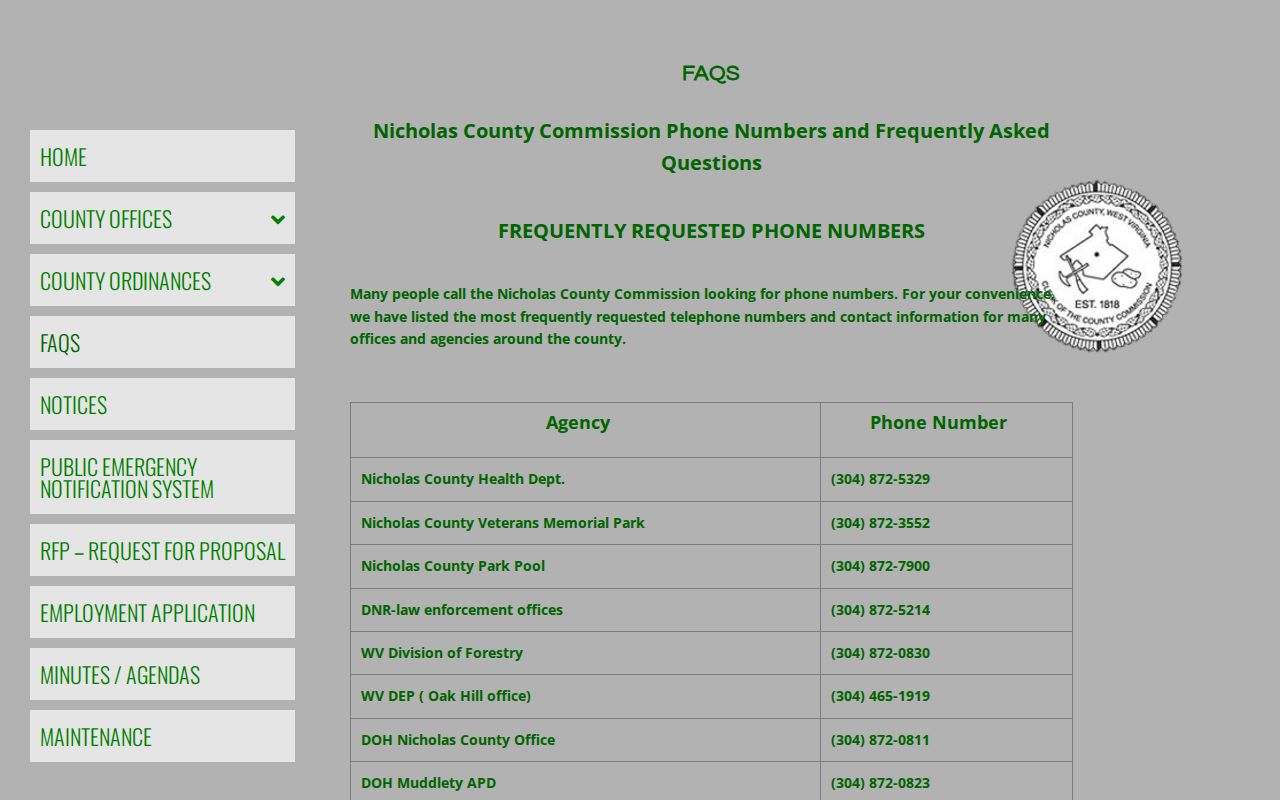
Floodplain and septic questions outside city limits run through the county. Administrators can be reached at (304) 872-7892 and (304) 872-7893, and the health department handles septic information at (304) 872-5329. Check with the office that has jurisdiction before you build or divide land.
Summersville Neighborhoods and Subdivisions in the Records
No verified inventory of Summersville subdivision names exists in a searchable plat index. Listing neighborhood names or development dates without matching them to recorded maps would invite error. A better route starts with the Assessor's district-map-parcel reference. From there, ask the County Clerk for a search. Request Map Book or Map Rack records tied to the parcel's legal description. A recorded plat can reveal lot and block numbers. It can also show adjoining tracts, road dedications, or a subdivision name that a modern street address omits. Treat any subdivision label as a search clue only. Two parcels sharing a neighborhood name do not necessarily share a boundary.
| Neighborhood / Subdivision | Era | In the Records |
|---|---|---|
| Named plats not verified | To be confirmed | Request the County Clerk's Map Book and Map Rack entry for the property. |
| Downtown and courthouse-era lots | Historic core | Search by deed description and adjoining owners; the city history supplies context, not a plat index. |
| US 19 and reservoir-area parcels | Mid- to late twentieth century change | Compare the recorded map and deed with current parcel geometry; do not infer a subdivision name. |
Once a plat name, map book page, or lot number is confirmed in a recorded instrument, carry that exact wording into the Clerk's index. Then match the result against the Assessor's parcel card. The Nicholas County parcel map guide explains why a displayed line is approximate and why the recorded plat still controls.
Check Summersville City Limits and Annexation Context
Near the edge of Summersville, several documents should agree before you trust any boundary. Compare the city boundary line with the county assessment map. Check the E-911 address too. Then review the recorded deed and the city's zoning jurisdiction. West Virginia annexation follows a formal approval process. No parcel-by-parcel annexation history or year-by-year ordinance list is published online. A mailing city and a map outline are orientation clues only. City staff hold the real answer on municipal status.
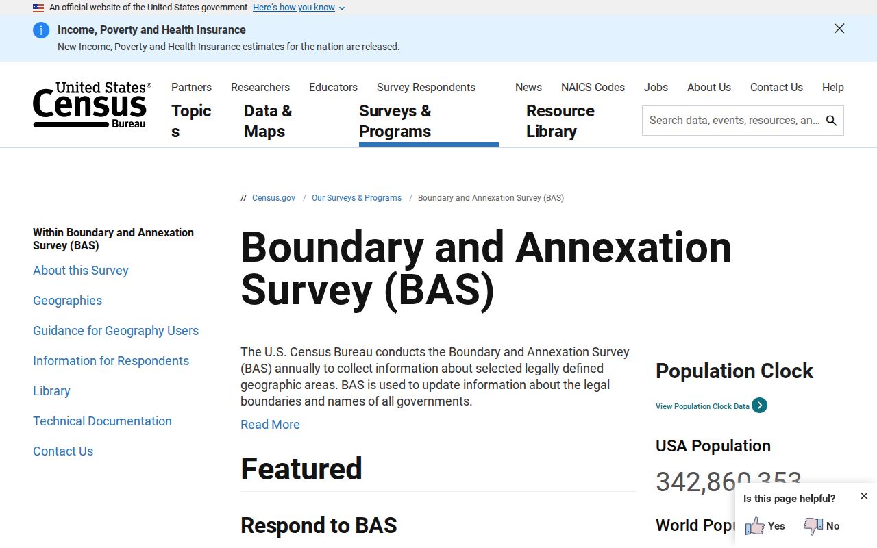
The Census Bureau's Boundary and Annexation Survey offers a statistical boundary reference for incorporated places. Its map is not a title document and decides nothing about ownership or legal jurisdiction. It can still sharpen the question you bring to official city records.
Consult the Census Boundary and Annexation Survey for program context on municipal boundaries.
When zoning, taxes, or a purchase turns on the line, request written confirmation of current status. Keep the response on file with the property's parcel number and deed identifiers.
Summersville Mailing Address Versus Municipal Address
ZIP Code 26651 is commonly tied to Summersville. But a postal city name defines delivery geography, not corporate limits. A rural route or post-office-box address can carry the Summersville name. The parcel may still sit outside the incorporated city. The reverse also happens. An address near a municipal edge may need a direct boundary check. Until then, no one knows which zoning rules apply. USPS lines and local government lines answer two different questions.
Parcel records carry several distinct address fields: situs, mailing, and E-911. The situs address marks the assessor's property location. The mailing line routes tax correspondence. An E-911 address supports emergency dispatch. None of them replaces the deed's legal description. So compare all of them whenever an address search returns multiple candidates, a rural route changes, or an owner of record receives the tax bill elsewhere.
Request Summersville Permit and Zoning History
Summersville publishes its Planning and Zoning material through a city code library, and the city's planning background outlines municipal zoning and building-code duties. The commission advises the City Recorder on administering the ordinance. The city offers no address-keyed public permit database, no searchable permit fields, no export function, and no stated online coverage period. A code document states the rules. It does not tell you the permit history of one parcel.
Call Summersville City Hall at (304) 872-1211 and ask how to request zoning confirmation and permit history for the exact property address. Include the parcel number if you have it, the owner's name as it appears on the tax card, and the relevant date range. Then weigh any city response against county deed, map, and assessment information. Remember that an empty online search never proves no permit was issued.
The city's Home Rule application and planning background supplies the official context for municipal planning and land-use roles.
US 19 and the Reservoir Mark Summersville Value Eras
Summersville's property story reaches past its courthouse-era core. The county history notes a high school built in 1914. Dam work started in 1960. The reservoir was dedicated in 1966. Later, the four-laning of US Route 19 reshaped access. It also reshaped the commercial setting along the corridor. Landmarks like these help frame a parcel's history. That holds especially for tracts that moved from rural or residential use toward highway-facing business activity. They cannot fix an individual parcel's value or its development date on their own.
The city publishes no official value trend series of its own. To build a trend, compare assessor sales and appraisal figures for a defined set of Summersville parcels across a chosen time range, keeping land and improvement values apart. Note the assessment year and each sale date as you go. County assessed values exist for tax administration. So they are not verified sale prices or an independent appraisal. Historic landmarks frame the question well. They never substitute for parcel-specific deed and appraisal evidence.
Match a Summersville Tax Card to the Deed
Check a county card against the recorded instrument. Do this before relying on it to describe a property. Compare the owner name, deed reference, land description, acreage, map number, and situs address line by line. Assessment data updates on its own cycle. A current card can lag behind a recent transfer. The grantor and grantee index may surface a deed the card has not picked up yet. A later correction or estate conveyance can explain a mismatch in names.
For boundary-sensitive work, request the recorded plat or a professional survey. The state viewer's calculated acreage and parcel outline help orient a property search. Still, map geometry can be approximate or out of date. Save the exact book and page, plus the tax year you checked. Note any unresolved differences for the Clerk, the Assessor, or a qualified title professional. The method pays off most on older downtown tracts, road changes, and properties near the city line.
What Summersville Property Records Show and Their Limits
County records can carry a lot of weight. They may show the owner of record on the current assessment roll, taxable value, mapped location, and recorded conveyances or liens. Each record has limits. A deed evidences a recorded transfer, not a full legal opinion on title. An assessment is a tax figure, not an independent market appraisal. A GIS line is not a survey. City files may document zoning or permits, yet a missing online entry never proves no work occurred, so take any material ownership, boundary, or construction question to the office responsible for that record.
Lawful use. Use public parcel and deed information for property research, purchase diligence and civic review. Do not use personal information to threaten, stalk or harass anyone; confirm any legal concern with the appropriate authority.